
Forecasters and local councils are warning residents between Cairns and Townsville to stay up to date as a tropical low sitting in the Coral Sea is tracking slowly towards the North Tropical Coast,.
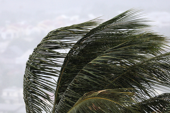
Conditions are expected to worsen tomorrow with Tropical Low 29U located about 475km east‑northeast of Cairns early this morning, moving west‑southwest with winds near 65km/h and gusts up to 95km/h.
The system has a moderate chance of developing into a tropical cyclone before making landfall, prompting a cyclone watch from Cooktown to Palm Island, including Port Douglas, Cairns and Innisfail.
Gales with gusts to 100km/h are expected along exposed coastal areas from Friday morning, with heavy rainfall and flash‑flooding risk developing north of Ingham today and spreading south on Friday.
Higher‑than‑normal tides are also expected between Port Douglas and Ingham, and a Flood Watch remains active for northern and far northern catchments.
Residents across Cairns and Townsville can stay informed through local disaster dashboards, prepare their homes, and seek SES assistance on 132 500 for non‑life‑threatening emergencies.


